
This post contains section links to Conditions and Forecast.
Summary
Jump onto skiable conditions close by this weekend- a warming trend for next week will likely to prompt some touring centers in low-lying areas to lie low, closing trails during the week to preserve their snowpack for the following weekend.
Currently, Fahnestock is groomed, and Minnewaska is groomed and has set tracks (classic skiers say: ‘whoo hoo!’). High Point and Mohonk have closed their trails for skiing, at least for today. All I can say is to try calling on the weekend.
Conditions

Following the warm spell and subsequent freeze, the snowpack has gotten crusty and icy, particularly in the low-lying areas and south of the Adirondacks. Where touring center operators have the equipment, they can make multiple passes to break up the surface to create loose granular conditions. Regardless, there can be some firm or icy sections which make for a status of ‘skiable’ rather than ‘good skiing’.
Expect that conditions will be firm and fast, particularly in the morning. Skaters remember to keep your feet under you, and classic waxers, pack that klister.
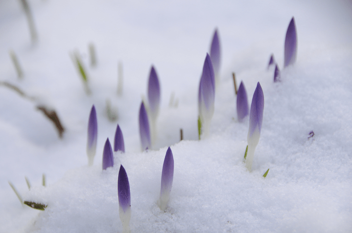
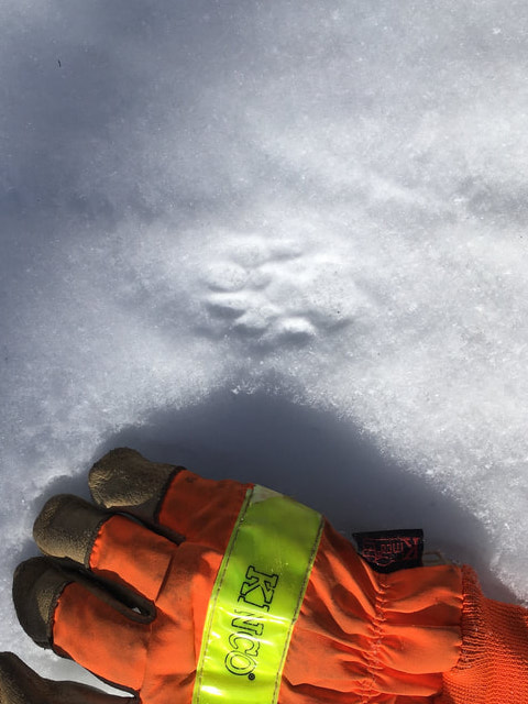
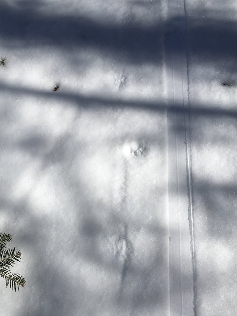
Still plenty of ‘life’ left to winter, as the photos below show:
Hit up ‘State of the touring centers‘ or in the menu above for reported conditions, and check out the snow depth graphic below.

Forecast
Warming trend starts after this weekend. The issues for the remaining snowpack are: nighttime temps that will stay above freezing starting in the southern region starting Tuesday night and extending northward Wednesday night, and possible rain next Thursday and Friday.
Temperatures will come back down to the 30s in the north country for the following Saturday, with a slight chance of snow showers. Downstate will be in the mid-40s to low-50s.
Day-by-day:
Today (Friday): Wintry and somewhat blustery. Downstate and southern New England temps in the low- to mid-30s for the most part, some areas at elevation in the 20s. From the Catskills northward, highs will be in the teens to 20s, with some single digits in the mountains. Stiff breezes and some gusty winds at elevation from the WNW. Slight chance of snow showers in the north country.
Saturday and Sunday’s temps will be similar in range to Friday. Winds slightly lighter and shifting to NNW. Some lake-effect snow likely on Saturday for central NY and parts of the far north.
Monday marks the start of a major warming trend, with downstate highs reaching the mid-40s. Inland, the daytime temps will be from the mid-30s to low-40s from central NY across southern New England and the lakes region of NH. The far north country will reach just about freezing, and only the mountains will stay in the 20s.
Tuesday high temps jump about ten degrees- upper-40s to mid-50s downstate and in the lowlands across the northeast, 40s in the north country. Tuesday night the low temps downstate will be above freezing. Above-freezing nighttime temps will spread northward as the warming trend continues in the latter part of the week.
By Wednesday the NYC metro will be over sixty degrees(!), and many low-lying areas of the northeast will hit the 60˚ mark. The mountain areas of NY and New England will get into the 40s. Meanwhile, winds will have turned southerly and potentially very blustery in the mountains.
Thursday temps will be much the same but with winds from the southwest and a chance of rain. The precipitation probabilities are highest in western and central NY, and also further north. Thursday also marks the peak of the warming trend. Temperatures start dropping on Friday and will be back to a late-wintertime coolness in the north country by Saturday, along with a chance of snow showers.
Happy skiing. Thanks for reading.
