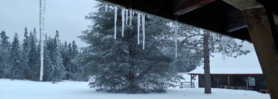
A pic from Prospect Mountain is the featured image for today. This post contains section links to Conditions and Forecast.
Summary
The NYC metro area got rain, followed by a bit of freezing rain. The great skiing is a 4+ hour drive from NYC:
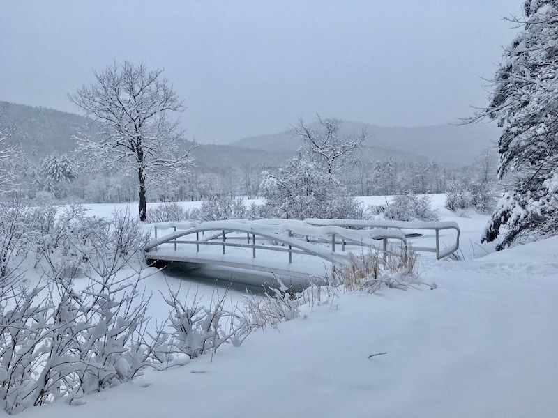
In between, the Hudson Valley up through the Catskills and Berkshires received significant amounts of freezing rain. Road conditions in the Hudson Highlands, Shawangunks, other areas just south of Albany could still make driving problematic today. Southern Vermont picked up rain and freezing rain, resulting in marginal conditions at Prospect Mountain, despite its 2000′ altitude.
Not much joy in sight for us in the downstate NY region, as weather for the upcoming week will be mostly dry and temperatures getting well above freezing. Any of the precipitation we might get won’t likely be a lot, so ski conditions will probably stay at least 3 hours north of the city.
Conditions
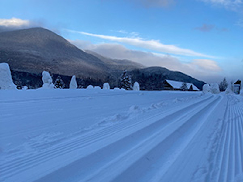
The far north and western areas in New York picked up a more powdery snow. BETA report as of Feb. 4 indicates 8-14″ of new snow in the High Peaks. Towards Vermont and New Hampshire, snow was wetter, and amount of snowfall was less on average.
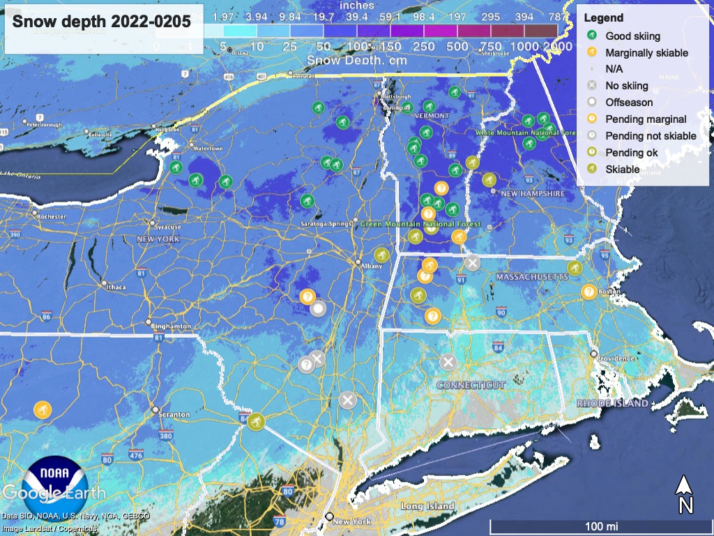
Hit up ‘State of the touring centers‘ or in the menu above for reported conditions as of today. Snow depth graphic below:
Forecast
Temperatures are cold today and tonight. Sunday temps will be about freezing in NYC, and teens to low-20s in the far north.
Starting Monday, downstate and coastal regions will go above freezing, hitting about 40 in NYC. Up north low-lying areas will start flirting with the freezing point. The upward trend of daytime temps will continue till reaching a high point by Thursday, when high temps in the NYC metro will be in the mid-40s. The far north can expect to reach the low- to mid-30s.
Slight chance of precipitation Monday afternoon and night, primarily along the coastline and reaching across interior lowlands. It will be mainly rain or wintry mix except further inland which could get snow showers.
Tuesday could bring some lake effect snow to upstate New York, and cold air from the north-northwest could create snow showers in far northern New Hampshire and Maine.
Toward the end of next week, moderate chance of snow in western NY state, driven by lake effect.
