
This post contains section links to Conditions and Forecast.
Summary
Not much to beware for these Ides of March; in terms of weather it’s going to have pretty typical winter-to-spring swings in temperature. The weather will actually be pleasant, but if there’s a snowpack remaining, it’ll be doing a lot of melting.
If you can get to an area where the snowpack has become corn snow or been groomed to granular conditions, this weekend should offer great spring skiing, particularly from Saturday afternoon on. Suggestions: Garnet Hill or one of the two Osceolas for New Yorkers, Prospect Mountain or Mountaintop for Vermonters, Notchview for Massachusetts folks.
Conditions
Hit up ‘State of the touring centers‘ or in the menu above for reported conditions. Note that some centers are closed Monday-Tuesday or during midweek. Updates by touring centers are getting sporadic so my checkups aren’t always in sync with their reporting.
Forecast
Seesawing daytime temperatures for the week ahead- colder today and Friday (but downstate will still be above freezing), and warm days Thursday and Sunday, when even the far north will be in the 40s. Next weekend should be clear and mild.
For the week ahead, little chance of precipitation north of Albany and the VT border, with moderate chances for the Tristate region and southern tier of NY on Tuesday and Thursday into Friday.
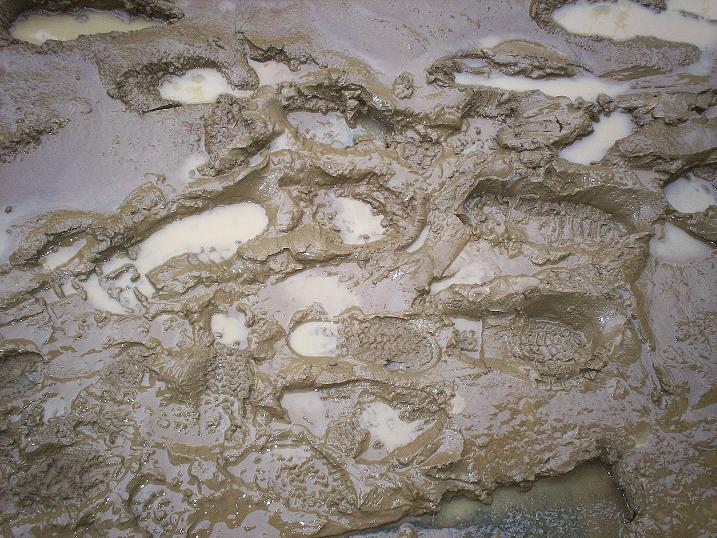
Upstate a couple of cold nights tonight and late in the week will refreeze the remaining snowpack making for fast mornings on the trails. Downstate the nighttime lows will continuously flirt with the freezing mark. Mud season is nigh.
Day-by-day:
Today (Monday): highs in the 30s downstate, the Hudson valley, and low-lying areas; 20s farther northward or at elevation, from the Hudson Highlands on up. The far north country will be in the teens, and single digits in the mountains. Breezy, with winds of about 20mph, higher in the mountains.
Tuesday the high temps swing up by several degrees, to the upper-30s/low-40s downstate, and the 30s in the north country. Chance of rain/snow showers from the downstate area up through the Catskills and central NY state, from Tuesday afternoon into the overnight.
Wednesday the warming trend continues- downstate will be in the mid-40s to low-50s; the far north will get to the 40s, and even the mountain areas will probably be in the 30s.
Thursday the high temps notch a bit higher- large swaths of the northeast and New England will see temps in the mid-50s; inland and upstate areas will be in the 40s, with some isolated areas of the mountains in the 20s and 30s. A front forming late Thursday brings precipitation to New York state, with rain possibly transitioning to snow showers upstate during the overnight. Greatest chance of precipitation will be in the Tristate area and central NY, where it’s more likely to be rain.
Colder on Friday: mid-3os to low-40s downstate and in low-lying areas; mid-20s to mid-30s inland and in the north country, with a few areas in the mountains in the teens. We downstaters might see remaining precipitation as snow, but it won’t amount to much except as a reminder.
Back up to the 40s and 50s across the northeast on Saturday, while areas at elevation might be in the 30s, and some mountain areas in the 20s. Sunday warmer still- NYC metro, Hudson Valley, and low-lying areas in the 50s; mountain areas of the northeast will be mostly in the 40s. If you’re lucky enough to be somewhere with a good snowpack it should be a really great weekend.
