
As in ‘Yet Another Late Winter Snow Storm’ update- NWS is predicting a ‘dreary’ week, with systems arriving to stay the week. Some snow at higher elevations. Accumulations could be significant by end of the week. The bigger issue will be that with few exceptions the touring centers have called an end to grooming if not the season.
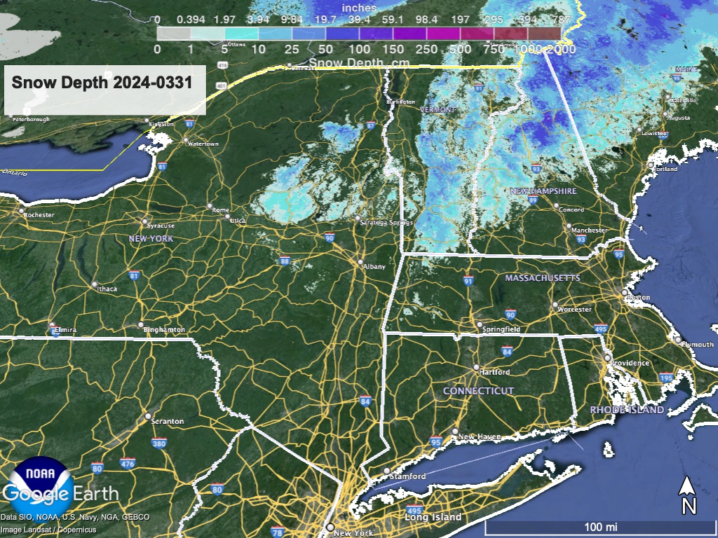
For those willing to take conditions ‘as-is’, there may yet be another ski day. The week starts off with small systems and some light rain. On Wednesday a long-duration event could cause significant precipitation through the rest of the week. Cooling temperatures expected Wednesday night and Thursday could convert precipitation into snow in the mountains of New York Sate, Vermont, New Hampshire, and western Maine.
Hit up ‘State of the touring centers‘ or in the menu above for reported conditions as of today.
Snow depth for today:
I hear the fat guy warming up.
