
This post contains section links to Conditions and Forecast.
Summary
Lucky locals had at skiable cover at Minnewaska this weekend, but best for old skate skis.
Some areas have called it till more snow arrives. The areas that were lucky in terrain and good with grooming are hanging on today, just with slightly less base. Many places now reporting thin spots, fast conditions, and rock skis recommended.
Light refresh of snow this week in central NY and far north, and some additional snow and rain for the region overall late Friday into Saturday.
Conditions
The snowpack is granular and frozen granular; conditions are fast in the morning and get soft in the afternoon. Slightly cloudier skies this week might help keep that snowpack around until a refresh.
Best bets for NY remain the two Osceolas (I can’t take putting both ‘Osceola Ski and Sport Resort’ as well as ‘Osceola Tug Hill Cross Country Ski Center’ into one sentence), Paul Smith’s VIC, and Garnet Hill, because track setting is this week’s differentiator between ‘Skiable’ and ‘Good skiing’.
In Vermont Prospect Mountain is OK, and Trapp Family Lodge is actually having Good Skiing. In New Hampshire Jackson Ski Touring is best. For Massachusetts residents who are desperate, go to Notchview.
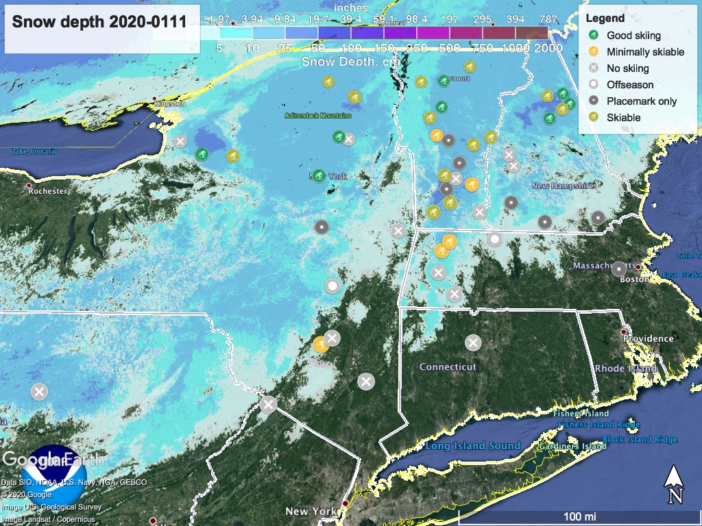
Hit up ‘State of the touring centers‘ or in the menu above. Snow depth graphic below:
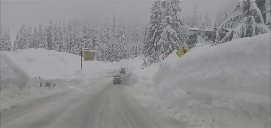
Ah, to be in Snoqualmie Pass, where they’ve gotten over four feet of snow since New Year’s:
Forecast
Modest chance of lake effect snowfall throughout the week in the Finger Lakes and Tug Hill plateau. Midweek snow may fall on the far north country of NY, VT, and Maine. No great amount of snow expected, but over a few days it could refresh the base in some areas. Skies will be mostly cloudy north of the mid-Hudson valley area, and partly cloudy for the downstate. Winds will be light and westerly. Daytime temperatures will start the week in the mid-20s to low 30s in the north, and mid-30s to mid-40s in the NYC metro area.
Wednesday winds will shift southerly and southwesterly. By Thursday temperatures will ramp up to range from the low 30s to low 40s up north, and low- to upper-40s in the downstate area and lower Hudson valley. Skies will change over in the downstate to mostly cloudy by end of Thursday.
On Friday, temperatures begin to cool a few degrees. With moist air arriving across the northeastern region later on Friday, precipitation could flip from rain/mix to snow overnight into Saturday, with the amount of snow depending on elevation and microclimate characteristics.
Saturday and Sunday the mid-Hudson valley and New England will start to see clearing skies, with precipitation tapering off on Saturday, although snowfall could persist in Central NY/Finger Lakes and Tug Hill through Sunday. Winds will shift westerly again, with stronger winds at higher elevations.
Thanks for reading.
