– at least in most places –
But we’re starting to see where even minor differences in elevation and latitude make a difference between skiing and not skiing.
Notchview hasn’t updated today, so I’m guessing they’re in wait-and-see mode pending the outcome of precipitation today into tomorrow. Will they be open? Call ahead.
Meanwhile, all the usual spots are open with decently skiable conditions for this time of the season: Prospect Mountain, Lapland Lake, Garnet Hill, and more. Conditions are now generally granular and some frozen granular. Watch for ice in spots that get direct sun.
Precipitation this weekend could give a refresh with some new snow on Saturday, but it will mainly be of use to the areas that have really good trails- not much help for reviving areas that have closed due to lack of snow.
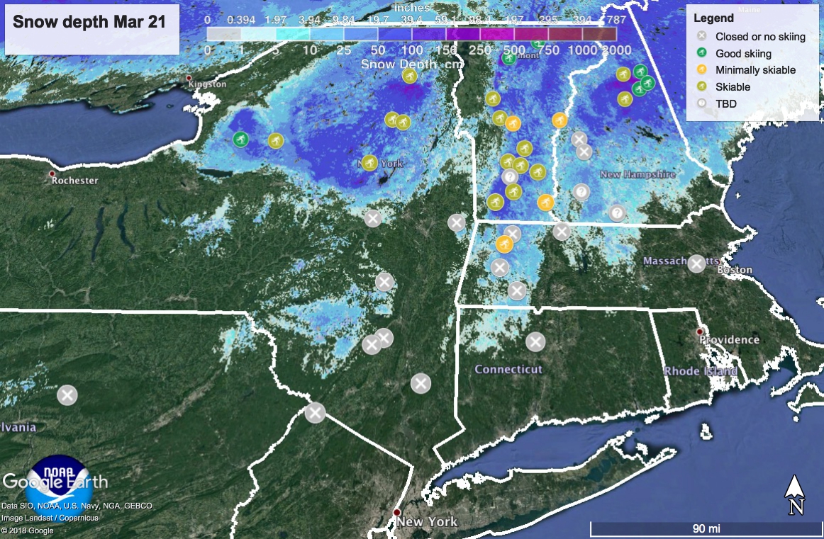
Check out the ‘State of the touring centers’ link above for the details; snow depth map right here:
Weekend weather-
Mix of snow and rain Friday. Up north it will start as snow in the early morning, then change over as the day warms up. In the Adirondacks and northern New England states it could turn back to snow Friday evening before ending sometime during the morning or mid-day Saturday.
Daytime temps will pop up to the 50s in the flatland areas on Sunday before dropping back down to late-winter temps on Monday and Tuesday.
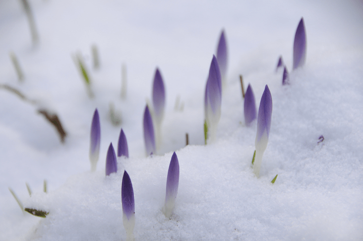
And by the way, welcome to spring!