This is the last formal conditions report for the season. I’ll have a couple of other posts to do before the blog hibernates for the summer, but I suspect most people have started prepping their skis for storage.
After today the only viable XC terrain will be found at:
- Bolton Valley Nordic Skiing & Snowshoeing
- Craftsbury Outdoor Center
- Gore Mountain
Since the beginning of the week, the following went offseason:
- Trapp Family Lodge
- Jackson Ski Touring
- Paul Smith’s VIC
- Lapland Lake
This post is about conditions for Apr 1, 2026 and forecast for the next few days. See jump links to Conditions and Forecast.
What will the skiing be like?
As late as last Wednesday 3/25 or Thursday 3/26, Wild Wings, Craftsbury, Trapp Family, and Bear Notch ski touring had ‘skiable’ conditions, meaning more than just a couple of kilometers of manmade snow. BETA report of 3/30 basically told backcountry skiers they were on their own to figure out what to ski:, condluding ‘…it now seems that only you die-hards will continue skiing and you know where to find what’s left.’
At this point Wild Wings and Trapp have gone offseasion, Bear Notch hasn’t updated, and Craftsbury is sort of promising best effort to make it through this weekend. In any case, it’s definitely rock skis and watch out for ice, water, and other hazards.
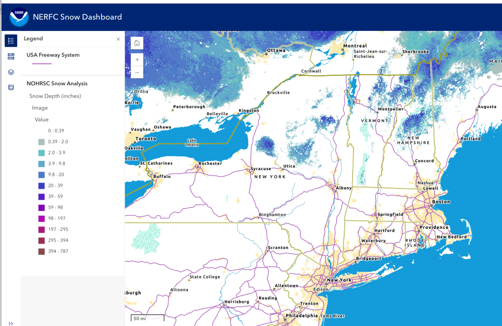
Hit up ‘State of the touring centers‘ or in the menu above for reported conditions as of today. Snow depth graphic below:
Upcoming weather
Weather recap: the cold snap over the weekend made for hard tr but fast conditions. Spring temperatures ranging from the 40s to the 50s early in the week made for skiable if soft conitions,and some rain finished off the snowpack.
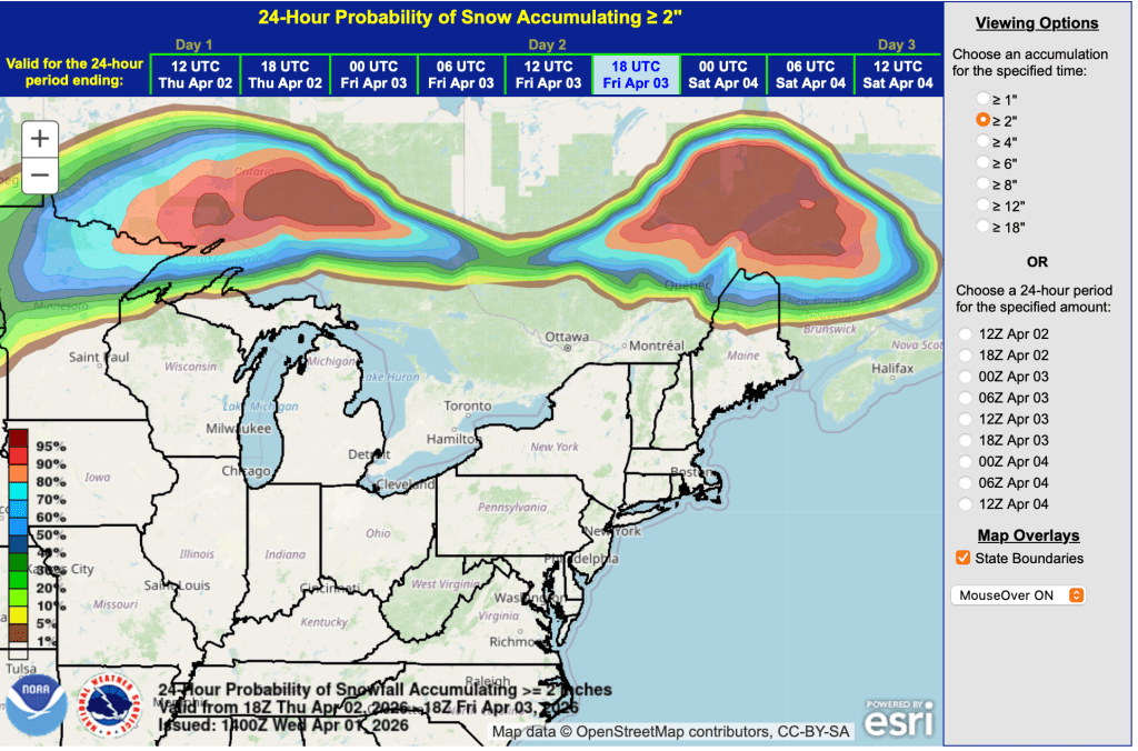
Summary for the coming week: persistent rain and rain showers, with a warming trend until late this weekend.
Day-by-day or bullets:
- Light rain showers in the southern areas of NY and New England Wednesday.
- Rain and rain showers overspread northwards on Thursday, with a bit of ice for northern New England. Colder air in the northeastern quadrant of the Northeast-US thanks to cold high-pressure air sitting in eastern Quebec province north of Maine.
- On Friday, light rain showers continue in the northern regions, with a short period of drying out overnight and Saturday before another system brings rain and rain showers late Saturday afternoon to the entire Northest-US.
- Saturday’s rain continues through Sunday, possibly ending with a few light snow showers in the far north.
- Monday will be drier, but expect light rain showers in the southern regions and some snow showers or wintry mix further north.
In case you want to find some snow you can head to Canada!
| Date / Daytime high temp | Mountains in northern NY, VT, and NH | Lowlands from central NY to NH interior | Hudson Highlands to NYC metro |
| We 4/1 | 30s | Mid 30s to mid 40s | Low to mid 70s |
| Th 4/2 | Upper 20s to low 30s | Low to mid 40s | Mid to upper 40s |
| Fr 4/3 | Low 40s to low 50s | Upper 50s to mid 60s | Upper 60s to 70 |
| Sa 4/4 | Low 40s to 50 | Mid 50s to mid 60s | Mid to upper 70s |
| Su 4/5 | 40s | Upper 50s to low 60s | Mid to upper 60s |
| Mo 4/6 | Low 20s to low 30s | Uppr 30s to upper 40s | Low to mid 50s |
| Tu 4/7 | Low 20s to low 30s | Upper 30s to mid 40s | Low to mid 50s |