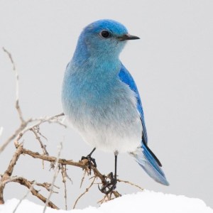
Everything’s open and skiing is decent to very good. The bluebird of happiness arrived today.

Fahnestock Winter Park is skiable, and Canopus lake trails are open for the first time in four years. Great for skate. Minnewaska, Mohonk, and High Point are also open and skiable. The bluebird might fly off for a couple of days for us in the downstate area, given the warm temperatures and rain expected tomorrow. But we may get lucky over the weekend. Keep your fingers crossed.
This post is about conditions for Feb. 12, 2025, and forecast for the next few days. See jump links to Conditions and Forecast.
How’s the skiing in general?
It’s been a while since every place I’m tracking has been skiable or with good skiing. Thursday will be a sloppy day due to warm temperatures, and Friday the touring centers will need to work on regrooming. Regardless, from the southern Adironacks to mid-norhern Vermont and New Hampshire, and in particular the Tug Hill, things are looking very nice for the President’s Day weekend or your Winter breek if that’s next week.
Hit up ‘State of the touring centers‘ or in the menu above for reported conditions as of today. Snow depth graphic below:

Forecast
Highlights;
- Snow/rain showers Wednesday into Thursday; accumulations will be minimal in the southern regions, possibly 4″+ in the far north. However light rain or freezing rain can also be expected to put a glaze on the snowfall.
- A large weather system arrives for the weekend. Potential for 6″+ of snow up north, but forecasts are very undertain as to amounts and types of precipitation south of the Adirondacks and central VT-NH.
Snow showers and snow Wednesday night, changing to ice and wintry mix and rain or wintry mix at best on Thursday. No part of the region except for possibly the Tug Hill will be spared. Two low systems will go through, one in the far north and a weaker one over Long Island. These systems will finish off as snow showers in the north, with lake effect snow continuing across central NY into Friday. Breezy for the next couple of days, with some areas experiencing gusts of 40-50mph. Some chance of freezing rain/ice in the northern areas on Thursday morning, so drivers keep an eye on your local 511.
[Updte Feb. 13]: Keep an eye on this one for the weekend. Current forecast has a moisture-bearing low coming up from the south and passing north and west of the NYC metro while a polar vortex sweeps down from Canada. NWS NY office (OKX) says potential exists for ‘explosive deepening’ of the low, with possible thunderstorms. Highs in the southern region now expected to go up to the 50s on Sunday before the cold front drops temps in the beginning of the week.
The slidehow above (click arriows overlaid on images, or the dots on lower left to shift to next image) indicates the progression of precipitation types across the northeast during Saturday day and overnight into Sunday. Firecast confidence is not very high so keep that in mind.
President’s Day and early next week will be dry, but breezier than the weekend, with gusts up to 30-40mph.
| Thursday 2/13 | Friday 2/14 | Saturday 2/15 | Sunday 2/16 | Monday 2/17 | Tuesday 2/18 | Wednesday 2/19 | |
| Northern NY, VT, NH – Daytime temps | Mid to high 30s | 20s | 20s | High 20s to low 30s | Teens to low 20s | Single digits to high teens | Teens to low 20s |
| NYC metro and coastal New England – Daytime temps | Low to mid 40s | Low to mid 30s | Low 30s to low 40s | 40s | 20s | 20s | Mid 20s to low 30s |


